Nearest Airport: Jolly Grant Airport, Dehraoon, Uttrakhand
Nearest Rail Head: Kathgodam, Uttrakhand
Route Hubs: Devprayag - Rudraprayag - Karanprayag - Tharali - Debal - Mundoli - Lohajung
From Airport: From Dehradoon, your best option is to reach Rishikesh and reach Karnprayag by bus or shared jeep. From Karnprayag, you can get jeeps to Tharali, Debal and then to Lohajung
From Railway Station: From Rishikesh you get lot of options by bus or jeeps to get to Karnprayag. From Karnprayag, you can get jeeps to Tharali, Debal and then to Lohajung. Follow the route hubs as mentioned above.
From Kathgodam, you gert shared jeeps which will take you to Lohajung via Almora, Kasauni, Gwaldam, Debal, Mundoli and Lohajung
By Bus: There is a direct bus from Rishikesh ISBT which leaves at 5 in the morning. However, taking a bus is not advised unless a necessity. A direct bus also plies from Delhi to Lohajung which leave ISBT Anand Vihar which takes about 20 hours and is not advised at all. Buses are available to Kathgodam or Haldwani from Delhi ISBT Anand Vihar, and you can board one which take about 8 - 9 hours. Volvos are available too which leave at night after 8 PM.
Some More Help:
Distance From Major Points:
- Kathgodam to Lohajung- 222 kms
- Rishikesh Lohajung- 260 kms
- Dehradoon Lohajung- 310 kms
- Rishikesh to Karnaprayag - 172 kms
- Karnaprayag to Lohajung- 88 kms
- Karnaprayag to Tharali- 46 kms
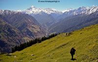
Adventure Activities And Travel Plans From Lohajung
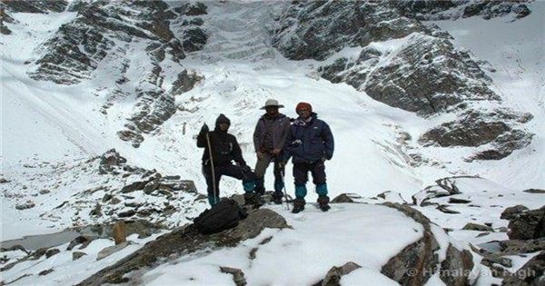
Ronti Saddle Trek
- 📅 Duration: 12 days 12 nights
- 🔼 Highest Altitude: 5300m
- 🛑 Grade: Strenuous ( know trek grades )
- 👍 Best Time: May June, Sep Oct
- 🚩 Starts From: Lohajung
- 🚩 Ends In: Ghat
- 🌏 Region: India - Uttrakhand
- 🎌 Country: India
- 🛪 Nearest Airport: Jolly Grant Airport, Dehraoon, Uttrakhand
- 🚉 Nearest Rail Head: Kathgodam, Uttrakhand

Roopkund Trek
- 📅 Duration: 7 days 7 nights
- 🔼 Highest Altitude: 5150m
- 🛑 Grade: Moderate + ( know trek grades )
- 👍 Best Time: May, Jun, Sep, Oct, Nov
- 🚩 Starts From: Lohajung
- 🚩 Ends In: Lohajung
- 🌏 Region: India - Uttrakhand
- 🎌 Country: India
- 🛪 Nearest Airport: Jolly Grant Airport, Dehraoon, Uttrakhand
- 🚉 Nearest Rail Head: Kathgodam, Uttrakhand
Roopkund - Kuari Pass - Pangarchula Trek
- 📅 Duration: 18 da
- 🔼 Highest Altitude: 5510m
- 🛑 Grade: Strenuous ( know trek grades )
- 👍 Best Time: May, Jun, Sep, Oct, Nov
- 🚩 Starts From: Lohajung
- 🚩 Ends In: Joshimath
- 🌏 Region: India - Uttrakhand
- 🎌 Country: India
- 🛪 Nearest Airport: Jolly Grant Airport, Dehraoon, Uttrakhand
- 🚉 Nearest Rail Head: Kathgodam, Uttrakhand
Friday, September 25, 2020 9:36:00 AM