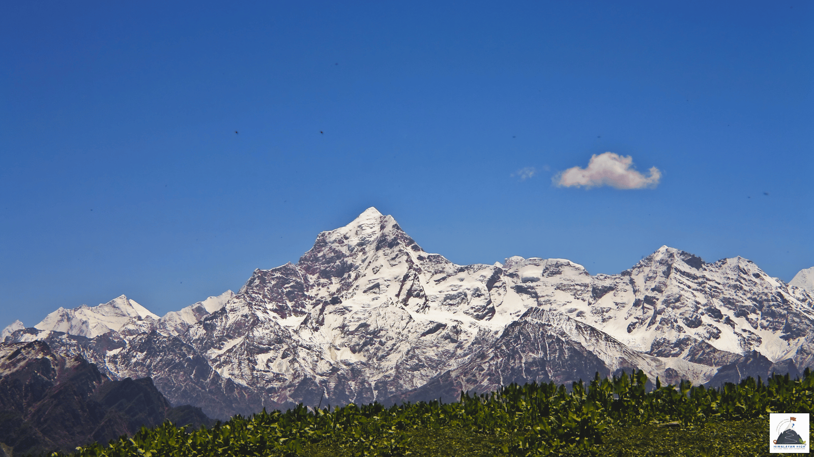
Mana sits at about 3,200 m in the upper Alaknanda valley, 3 to 4 km beyond Badrinath. It is roughly 300 km from Rishikesh, best with a night in Joshimath; snow usually closes the upper road from about December to March.
Region: Uttarakhand - Garhwal
Route hubs: Rishikesh - Devprayag - Srinagar - Rudraprayag - Karnaprayag - Chamoli - Joshimath - Badrinath
Nearest airport
Jolly Grant Airport, Dehradun (DED)
320 km • About 11 hr
Nearest railhead
Yog Nagari Rishikesh railway station, Rishikesh (YNRK)
300 km • About 10.5 hr
Treks that start in Mana
This trek begins in Mana. Each page has the full itinerary from day 1.
From the airport
The nearest airport is Jolly Grant (Dehradun Airport, DED), with several flights a day from Delhi and direct flights from Mumbai, Bengaluru, Hyderabad and other cities. It is about 20 km from Rishikesh but roughly 320 km from Mana. Prepaid taxis are available at the terminal, and the run to Rishikesh takes 30 to 45 minutes. Most flights land from mid-morning onwards, too late to drive to Mana in daylight the same day, so plan to spend your first night in Rishikesh and set off early the next morning.
If the Dehradun flights do not suit, fly into Delhi, which has far more domestic and international connections, and continue to Haridwar or Rishikesh by train, bus or taxi: about 230 to 250 km by road, usually 5 to 7 hours.
From the railway station
The nearest station is Yog Nagari Rishikesh (YNRK), about 300 km from Mana, where a smaller number of long-distance trains terminate. Haridwar Junction (HW), about 25 km further south, is far better connected, with the daily New Delhi to Dehradun Shatabdi among many trains, and the Uttarakhand Roadways bus station is directly opposite. Dehradun (DDN) also works but adds about 40 km.
From any of these, hire a taxi for the whole run (10 to 11 hours of driving to Mana) or take one of the state transport or local union buses that run to Badrinath from Rishikesh and Haridwar in the pilgrim season; most leave very early in the morning. In Rishikesh, shared taxis for the hills leave from Natraj Chowk. No railway runs into the mountains yet: the Rishikesh to Karnaprayag line is still under construction, with completion now targeted for December 2029.
By road
Mana sits at about 3,200 m in the upper Alaknanda valley, 3 to 4 km beyond Badrinath on the Badrinath highway (NH7). From the plains you follow this highway from Rishikesh, up the Ganga and then the Alaknanda. Rishikesh to Badrinath is about 297 km, so reckon on roughly 300 km to Mana. Roads from Kumaon join at Karnaprayag; above Joshimath there is only one road.
- Rishikesh to Devprayag: about 70 km, 2 to 2.5 hours
- Devprayag to Rudraprayag via Srinagar: about 70 km, 2 to 2.5 hours
- Rudraprayag to Chamoli via Karnaprayag and Nandprayag: about 65 km, 2 to 2.5 hours
- Chamoli to Joshimath (Jyotirmath) via Pipalkoti and Helang: about 50 km, 1.5 to 2 hours
- Joshimath to Badrinath via Vishnuprayag, Govindghat and Pandukeshwar: about 45 km, 1.5 to 2 hours
- Badrinath to Mana: 3 to 4 km, 10 to 15 minutes
Allow 8 to 9 hours for Rishikesh to Joshimath alone. Much of the highway has been widened under the Char Dham road project, but beyond Pandukeshwar the road is still narrow in places and the upper valley is prone to landslides. Snow usually closes the upper road from about December to March and Mana's families move down the valley for the winter, so the season runs from the Badrinath temple's opening in late April or May until it closes in early November.
Local transfers
Buses from the plains end at Badrinath's bus stand, and shared taxis leave for Badrinath from the taxi stand in Joshimath. From Badrinath, take a local taxi for the last 3 to 4 km or walk it in an hour or so. Vehicles stop at the edge of the village: Mana's lanes, Vyas Gufa, Bheem Pul and the start of the Vasudhara and Satopanth trails are all on foot. Coming from Rishikesh, spend the first night in Joshimath and come on to Mana the next day. The Kalindi Khal traverse finishes here, and the road out runs via Badrinath. Aim to arrive in daylight.
Safety
Mana is at about 3,200 m, some 1,300 m higher than Joshimath, so sleep at Joshimath rather than coming up from the plains in one go. From July to mid-September landslides and cloudbursts can block the highway for hours or days: keep a spare day at each end and do not book onward travel for the day you come down. In the pilgrim season Uttarakhand requires everyone travelling to Badrinath, and their vehicles, to register online. Check the road with Chamoli district's yatra control room (01372-251437; 1077 within the district) or in Joshimath, and avoid driving after dark.
Travel tips
- Plan buffer time for road delays, especially in monsoon and winter.
- Start early for long drives to avoid night stretches on mountain roads.
- Keep offline maps and cash as backup in low-network zones.
- If you are continuing to high altitude areas, acclimatize and hydrate well.
Treks that finish in Mana
Friday, September 25, 2020 9:36:28 AM
Every day I keep learning new things, but as of now, I think I can describe myself as a Loyal Himalayan Lover, Avid Trekker, Student Of Mountaineering, Amateur Photographer and an Enthusiastic Anthropologist. I am a Computer Science Engineer by education and previously worked as a Software Developer for premium IT companies. However, I quit the luxury of a high-earning corporate job and left behind the herd to walk towards the spiritual path laid down by the Godly Himalayas. At the age of 27 with no savings at all and being the only son from a lower-middle-class family, it was too young to fight against the family who in turn had to fight against the rules laid down by society. However, with my determination and perseverance, everything became smooth by passing time.
It wasn't easy for me as I learnt the hard way from mistakes - my own and by observing others. I fought 2 major road accidents that broke my right tibia and femur. I underwent 7 surgeries that kept me away from the mountains, but I patiently fought them all to get back to trekking again in the Himalayas with rods and plates in my bones. Despite doctors saying I cannot walk properly ever again to getting back to trekking on the difficult routes again, Life made me understand very clearly what it wants out of me in this World. It wants me to serve the Himalayas and its community, live a peaceful, content and simple life. That's what I have dedicated my this life to. I am not religious, but spiritual. The Himalayas define my road.
The Himalayas today is spammed by mushrooming trek agencies and big companies who take pride in being India's Largest, biggest, oldest, etc. They are exploiting everything for the sake of profit. It is in dire need of regulation by credible Government authorities, Sustainable Tourism Practices needs to be forced upon every organisation, Small Group Sizes needs to be mandated, Fixed camping should be restricted in alpine zones and Negative Ecological Impact Trekking Protocols should be laid down immediately by governing bodies. With all these objectives, I founded Himalayan High in the year 2015. Learn more about Himalayan High on About Himalayan High
© 2026 Himalayan High Altitude Treks And Expeditions Pvt. Ltd. All rights reserved.
Original content, itineraries, and media are proprietary and protected by applicable copyright laws.