Nearest Airport: Jolly Grant Airport, Dehraoon, Uttrakhand
Nearest Rail Head: Rishikesh, Uttrakhand
Route Hubs: Devprayag, Srinagar, Rudraprayag, Karnaprayag, Nandprayag, Chamoli ,Pipalkoti
From Airport: If you are flying to Dehradoon from Delhi or other cities, your option is to head to Rishikesh which is the nearest hub for buses and shared jeeps.. Head to Rishikesh which is about 50 km from Dehradoon and takes about 1.5 hours to reach. Vehicles are frequently available to Rishikesh from Dehradoon. It takes about 8 - 9 hours to reach Joshimath. Direct shared jeeps aren't available for Joshimath. You need to break your journey as mentioned above.
From Railway Station: If you are travelling by the railways, then Rishikesh should be your last point. Rishikesh is the nearest railway station which is about 260 km from Urgum. It takes about 8 - 9 hours to reach Joshimath. Direct shared jeeps aren't available for Joshimath. You need to break your journey as mentioned above.
By Bus: There are direct and other changing buses available from Rishikesh ISBT, Rudraprayag, Chamoli, etc. However, the journey wont be comfortable.
Some More Help: Shared cabs are the best options to reach roadhead in Uttrakhand for any trek. If you are in a group, it helps sharing a cab. Total time taken ranges from 8 - 9 hours
Distance From Major Points:
- Dehradun to Joshimath - 302 kms
- Rishikesh to Joshimath - 250 kms
- Rishikesh to Rudraprayag - 139 kms
- Rudraprayag to Joshimath - 113 kms
- Karnaprayag to Joshimath - 81 kms
- Rishikesh to Pipalkoti - 220 kms
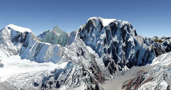
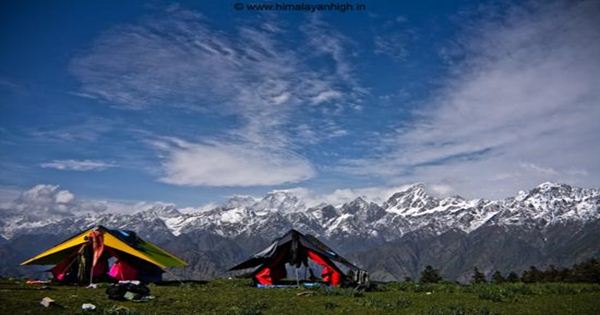
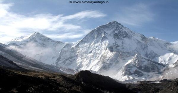
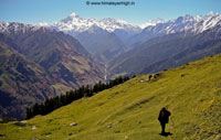
Adventure Activities And Travel Plans From Joshimath
Bhyundar Khal Trek
- 📅 Duration: 11 Da
- 🔼 Highest Altitude: 5100m
- 🛑 Grade: Strenuous ( know trek grades )
- 👍 Best Time: May End - June, Sep - Early October
- 🚩 Starts From: Joshimath
- 🚩 Ends In: Joshimath
- 🌏 Region: India - Uttrakhand
- 🎌 Country: India
- 🛪 Nearest Airport: Jolly Grant Airport, Dehraoon, Uttrakhand
- 🚉 Nearest Rail Head: Rishikesh, Uttrakhand
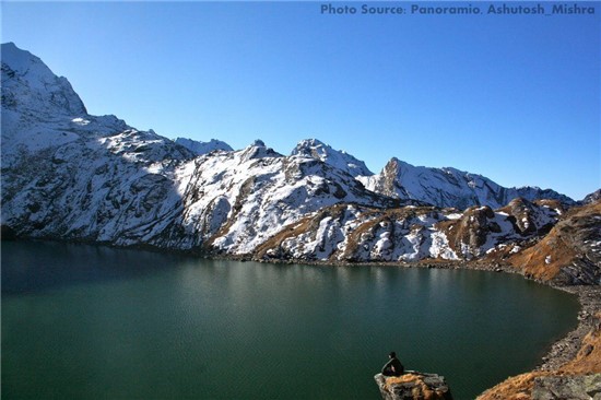
Kagbhushandi Tal Trek
- 📅 Duration: 8 - 9
- 🔼 Highest Altitude: 4800m
- 🛑 Grade: Strenuous ( know trek grades )
- 👍 Best Time: May End - June, Sep - Early October
- 🚩 Starts From: Joshimath
- 🚩 Ends In: Joshimath
- 🌏 Region: India - Uttrakhand
- 🎌 Country: India
- 🛪 Nearest Airport: Jolly Grant Airport, Dehraoon, Uttrakhand
- 🚉 Nearest Rail Head: Rishikesh, Uttrakhand
Panpatia Col Trek
- 📅 Duration: 14 days 14 nights
- 🔼 Highest Altitude: 5260m
- 🛑 Grade: Challenging ( know trek grades )
- 👍 Best Time: Mid May, Early Jun, Mid Sep
- 🚩 Starts From: Joshimath
- 🚩 Ends In: Ransi
- 🌏 Region: India - Uttrakhand
- 🎌 Country: India
- 🛪 Nearest Airport: Jolly Grant Airport, Dehraoon, Uttrakhand
- 🚉 Nearest Rail Head: Rishikesh, Uttrakhand
Lord Curzons Trek
- 📅 Duration: 8 days 8 nights
- 🔼 Highest Altitude: 3900m
- 🛑 Grade: Moderate + ( know trek grades )
- 👍 Best Time: Mar - Jun, Sep, Oct, Nov
- 🚩 Starts From: Ghat
- 🚩 Ends In: Joshimath
- 🌏 Region: India - Uttrakhand
- 🎌 Country: India
- 🛪 Nearest Airport: Jolly Grant Airport, Dehraoon, Uttrakhand
- 🚉 Nearest Rail Head: Rishikesh, Uttrakhand
Bagini Glacier Trek
- 📅 Duration: 8 days 7 nights
- 🔼 Highest Altitude: 4600m
- 🛑 Grade: Moderate ( know trek grades )
- 👍 Best Time: Apr to June, Sep to Nov
- 🚩 Starts From: Joshimath
- 🚩 Ends In: Joshimath
- 🌏 Region: India - Uttrakhand
- 🎌 Country: India
- 🛪 Nearest Airport: Jolly Grant Airport, Dehraoon, Uttrakhand
- 🚉 Nearest Rail Head: Rishikesh, Uttrakhand
Kuari Pass Trek
- 📅 Duration: 5 days 4 nights
- 🔼 Highest Altitude: 3900m
- 🛑 Grade: Moderate ( know trek grades )
- 👍 Best Time: May June, Sep Oct Nov, Dec Jan Feb Mar Apr
- 🚩 Starts From: Joshimath
- 🚩 Ends In: Joshimath
- 🌏 Region: India - Uttrakhand
- 🎌 Country: India
- 🛪 Nearest Airport: Jolly Grant Airport, Dehraoon, Uttrakhand
- 🚉 Nearest Rail Head: Rishikesh, Uttrakhand
Roopkund - Kuari Pass - Pangarchula Trek
- 📅 Duration: 18 da
- 🔼 Highest Altitude: 5510m
- 🛑 Grade: Strenuous ( know trek grades )
- 👍 Best Time: May, Jun, Sep, Oct, Nov
- 🚩 Starts From: Lohajung
- 🚩 Ends In: Joshimath
- 🌏 Region: India - Uttrakhand
- 🎌 Country: India
- 🛪 Nearest Airport: Jolly Grant Airport, Dehraoon, Uttrakhand
- 🚉 Nearest Rail Head: Kathgodam, Uttrakhand
Pangarchula Peak Trek
- 📅 Duration: 7 days 6 nights
- 🔼 Highest Altitude: 4575m
- 🛑 Grade: Moderate + ( know trek grades )
- 👍 Best Time: May June, Sep Oct Nov, Dec Jan Feb Mar Apr
- 🚩 Starts From: Joshimath
- 🚩 Ends In: Joshimath
- 🌏 Region: India - Uttrakhand
- 🎌 Country: India
- 🛪 Nearest Airport: Jolly Grant Airport, Dehraoon, Uttrakhand
- 🚉 Nearest Rail Head: Rishikesh, Uttrakhand
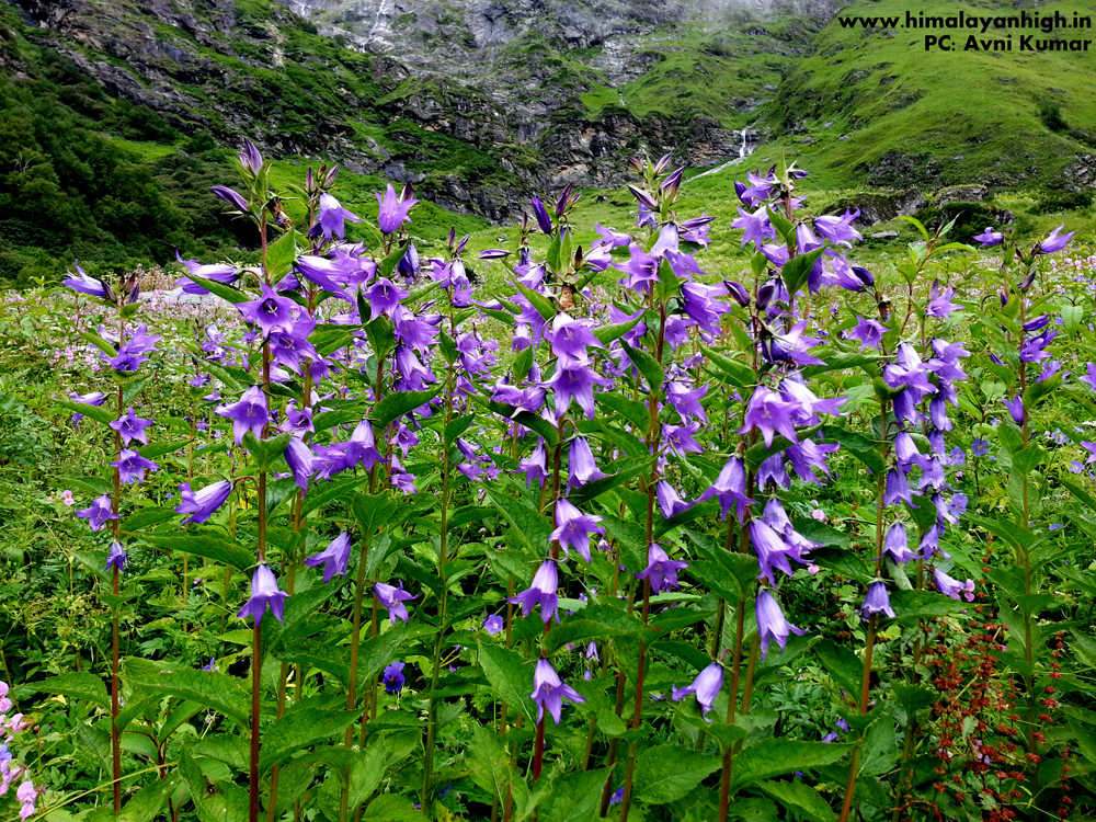
Valley of Flowers Hemkund Trek
- 📅 Duration: 6 Day
- 🔼 Highest Altitude: 4161m
- 🛑 Grade: Moderate ( know trek grades )
- 👍 Best Time: Aug Sep
- 🚩 Starts From: Joshimath
- 🚩 Ends In: Joshimath
- 🌏 Region: India - Uttrakhand
- 🎌 Country: India
- 🛪 Nearest Airport: Jolly Grant Airport, Dehraoon, Uttrakhand
- 🚉 Nearest Rail Head: Rishikesh, Uttrakhand

Dharansi Pass Trek
- 📅 Duration: 7 Day
- 🔼 Highest Altitude: 4261m
- 🛑 Grade: Moderate ( know trek grades )
- 👍 Best Time: May Jun Sep Oct
- 🚩 Starts From: Joshimath
- 🚩 Ends In: Joshimath
- 🌏 Region: India - Uttrakhand
- 🎌 Country: India
- 🛪 Nearest Airport: Jolly Grant Airport, Dehraoon, Uttrakhand
- 🚉 Nearest Rail Head: Rishikesh, Uttrakhand
Friday, September 25, 2020 9:36:00 AM